Central America Map Quiz
Seven countries in a narrow strip between two oceans. Belize, Guatemala, Honduras, El Salvador, Nicaragua, Costa Rica and Panama are easy to list and surprisingly easy to mix up on a map, because several are similar in size and they line up like beads on a string.
Mexico appears at the top of the map as context but is never asked. It belongs to the North America map quiz, which covers the whole continent including these seven.
Why seven and not eight
The UN's Central America group includes Mexico. Most people asking for a Central America quiz mean the isthmus itself, the land bridge between Mexico and Colombia, so Mexico stays on the map for context and the quiz asks only for the seven countries on the isthmus. Colombia, where the isthmus ends, belongs to the South America map quiz.
Use the coasts
Every country here touches the sea, so the coasts are the best way to tell them apart. El Salvador is the only one with no Caribbean coast; it faces the Pacific alone. Belize is the only one with no Pacific coast; it faces the Caribbean alone. Everything else has both.
Honduras is the tricky one. It has a long Caribbean coast along its north side, and only a short opening onto the Pacific at the Gulf of Fonseca, which it shares with El Salvador and Nicaragua.
North to south in one pass
- Guatemala: the big block at the top, directly below Mexico.
- Belize: the small Caribbean country tucked east of Guatemala.
- El Salvador: the small Pacific country south of Guatemala and Honduras.
- Honduras: the wide country across the middle, Caribbean to the north.
- Nicaragua: the next wide one down, with a large lake in its southwest.
- Costa Rica: narrower, between Nicaragua and Panama.
- Panama: the curving strip that runs east to the Colombian border, cut by the Panama Canal.
Capital hooks
Two capitals give themselves away: Guatemala City and Panama City. San Salvador, the capital of El Salvador, is nearly a giveaway too. That leaves four to memorize: Belmopan for Belize (not Belize City), Tegucigalpa for Honduras, Managua for Nicaragua and San José for Costa Rica.
Run the map in Click mode until all seven come up blue, then try Type mode and enter the capitals instead of the names.
Where to go next
The blank map of Central America prints these seven in blank, outline, numbered and labelled versions, which makes a quick classroom warm-up. The Latin America map quiz keeps six of these countries but drops Belize, where English is the main language, and adds Mexico, the Spanish and French-speaking Caribbean and most of South America. The flags of the Americas quiz includes the flags of the five countries that once formed the Federal Republic of Central America; four of them are blue and white stripes, which makes them a challenge of their own.
All the countries and capitals in this quiz
The seven countries of the Central American isthmus (UN M49 Central America without Mexico, which the North America quiz covers). Borders and names policy.
| Flag | Country | Capital |
|---|---|---|
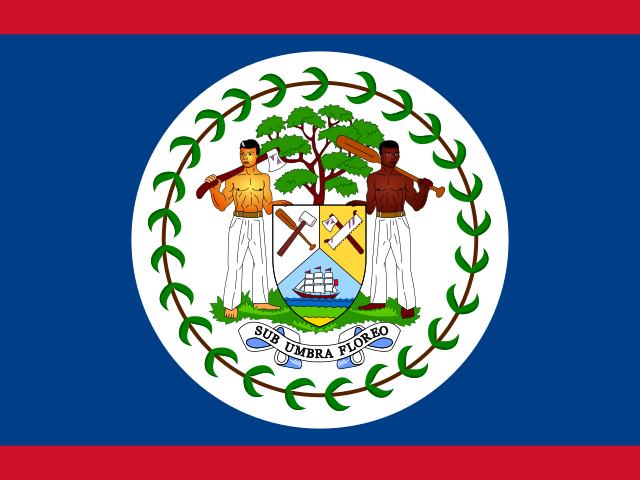 |
Belize | Belmopan |
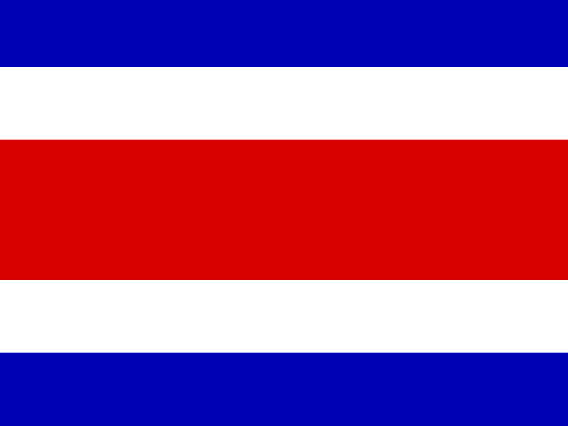 |
Costa Rica | San José |
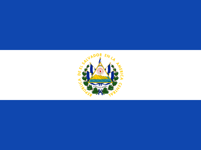 |
El SalvadorAlso: Salvador | San Salvador |
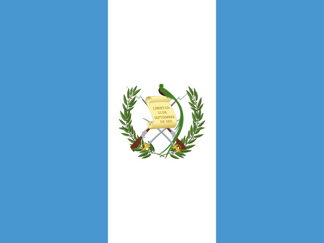 |
Guatemala | Guatemala City |
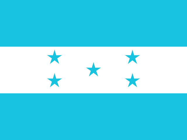 |
Honduras | Tegucigalpa |
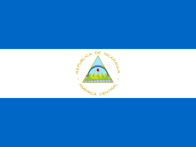 |
Nicaragua | Managua |
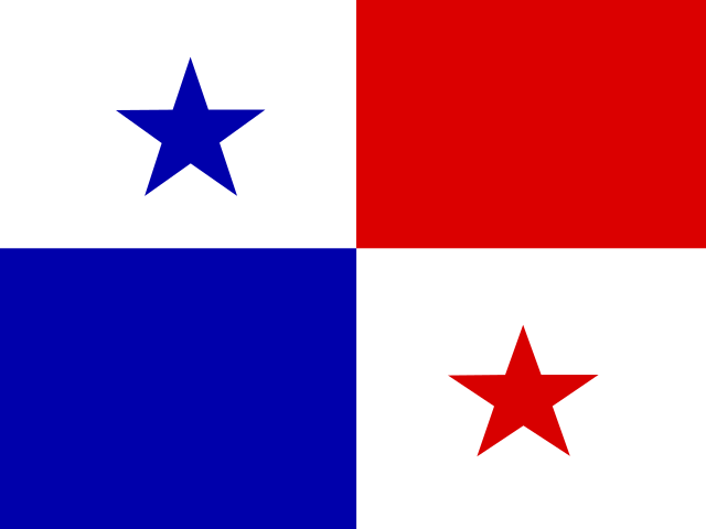 |
Panama | Panama City |
Names and capitals: CIA World Factbook (final edition), checked against Wikidata and Natural Earth. Flags: flag-icons, each checked against Wikimedia Commons. See sources. Spotted a mistake? Tell us.