South America Map Quiz
Twelve countries is a short list, which changes the goal. On this map the aim is not to finish, it is to finish clean: twelve blue answers on the first try, then the same again with capitals in Type mode.
Brazil covers so much of the continent that it borders every South American country except Chile and Ecuador. Learn it first and the rest arranges itself around its edges.
Three shapes do most of the work
Brazil is the bulk of the east. Chile is the long, narrow ribbon down the Pacific side, squeezed between the ocean and the Andes. Argentina fills the space between Chile and the Atlantic, tapering to the south. Get those three and you have the frame.
Next, go up the west coast from Chile: Peru, Ecuador, Colombia. Ecuador is named for the equator, which runs through it. Colombia is the only country in South America with both a Pacific and a Caribbean coast. Venezuela runs east from Colombia along the Caribbean.
The Guianas, west to east
Between Venezuela and Brazil's northern coast sit three territories in a row: Guyana, Suriname and French Guiana. Only the first two are countries. French Guiana is part of France, so it is drawn on the map but never asked.
A memory hook for the order: alphabetical works west to east for the two in the quiz, Guyana then Suriname. Their capitals are Georgetown and Paramaribo.
The two landlocked countries
Bolivia and Paraguay are the only South American countries without a coastline. Bolivia is the higher, larger one, up in the Andes west of Brazil. Paraguay sits to its southeast, wedged between Bolivia, Brazil and Argentina.
Uruguay is the small country often confused with Paraguay. The difference is the sea: Uruguay has an Atlantic coast, tucked between Brazil and Argentina at the mouth of the Río de la Plata.
Capitals and their quirks
- Brazil: Brasília, a planned inland capital, not Rio de Janeiro or São Paulo.
- Bolivia: Sucre is the constitutional capital and La Paz is the seat of government. The quiz uses Sucre.
- Chile: Santiago, though the national legislature sits in Valparaíso.
- Uruguay and Argentina: Montevideo and Buenos Aires face each other across the Río de la Plata.
- Ecuador: Quito, close to the equator line.
- Paraguay: Asunción, on the Paraguay River.
Next steps
Once all twelve come easily, the Latin America map quiz adds Mexico, Central America and the Spanish and French-speaking Caribbean, while dropping Guyana and Suriname. The blank map of South America has a numbered version with an answer key for a pen-and-paper round, and the flags of the Americas quiz covers every flag from Canada to Argentina.
Learn mode is worth a minute before a timed run on this map: hover over each country to see its name, capital and flag, then switch to Click and go for the clean twelve.
All the countries and capitals in this quiz
UN M49 South America: 12 countries. French Guiana is part of France and is shown but not asked. Borders and names policy.
| Flag | Country | Capital |
|---|---|---|
 |
Argentina | Buenos Aires |
 |
Bolivia | Sucre / La PazSucre is the constitutional capital; La Paz is the seat of government. |
 |
BrazilAlso: Brasil | Brasília |
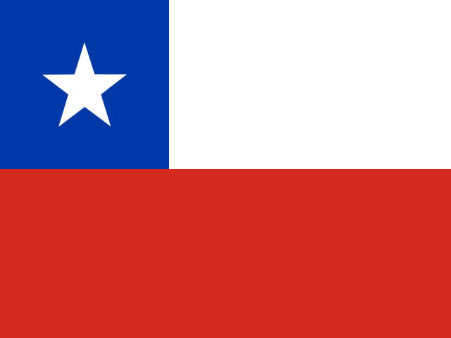 |
Chile | SantiagoThe national legislature sits in Valparaíso. |
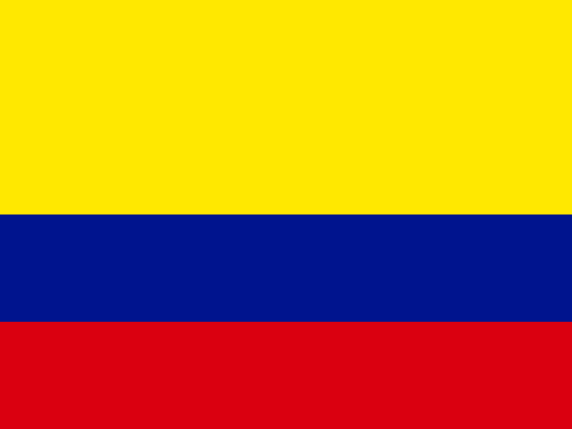 |
Colombia | Bogotá |
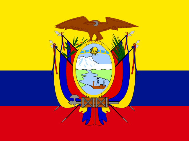 |
Ecuador | Quito |
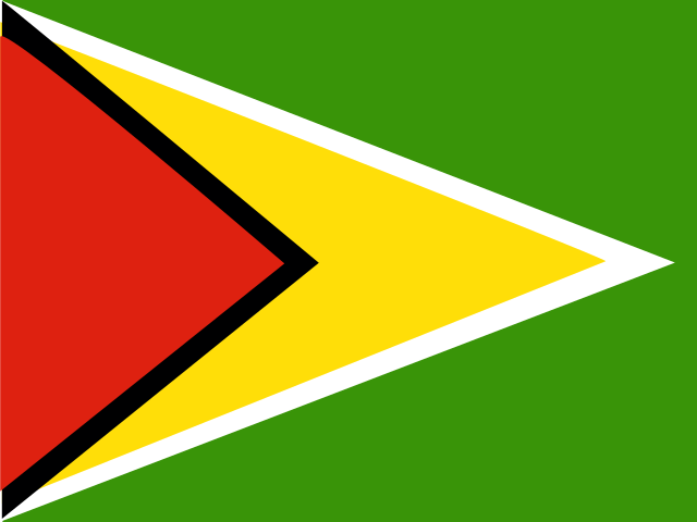 |
Guyana | Georgetown |
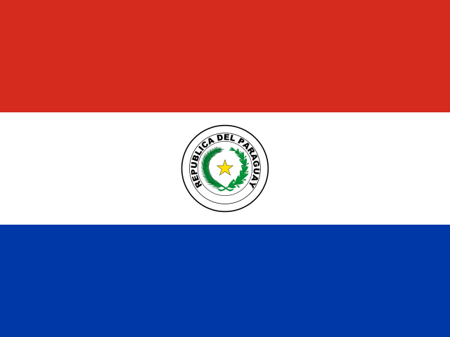 |
Paraguay | Asunción |
 |
Peru | Lima |
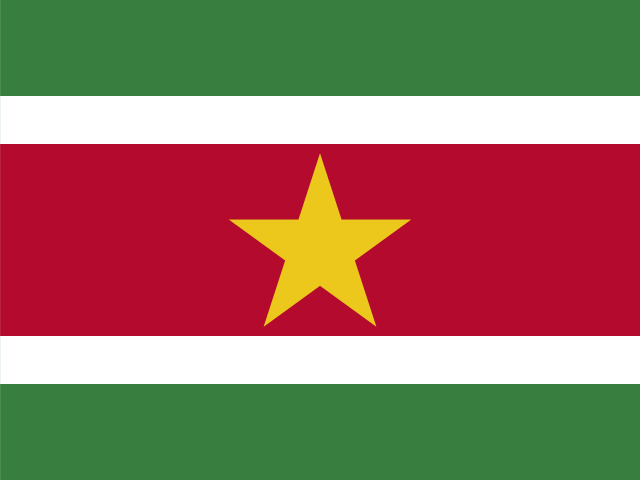 |
SurinameAlso: Surinam | Paramaribo |
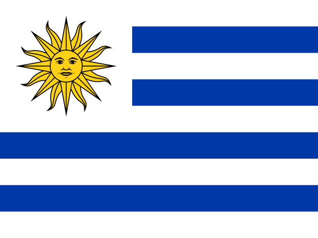 |
Uruguay | Montevideo |
 |
Venezuela | Caracas |
Names and capitals: CIA World Factbook (final edition), checked against Wikidata and Natural Earth. Flags: flag-icons, each checked against Wikimedia Commons. See sources. Spotted a mistake? Tell us.